What is Land Surveying?
Land surveying is nothing but a simple yet technical process of determining the distance and angles between certain points and in three dimensional positions. These points are normally on the surface of earth and these distance calculations or angle calculations are generally used to establish maps or to circumference the boundary of any land parcel or to allocate road etc, when required by the government or any such bodies.
The professional who does this land surveying is known as land surveyor. These surveyors use many mathematical and statistical measurements and various tech based equipments to ensure the best possible recordings.
Self Promotion*
Land Surveying CAD Drafting
We are expert in...
Free Trial Project
Free Website Designing
Free Local Marketing
Affordable Rate
1. Surveying Techniques:
There are various surveying techniques which a surveyor uses step by step in order to survey the given land surface and to give a figure by determining distance and angles of the given land or object. These measurements are normally divided into two format i.e. horizontally and vertically to have an easy and simple calculation. These techniques are as follows:
2. Distance Measurement:
First and foremost it is distance which needs to be calculated with the help of different equipments. Tachometry is basically a subject/science which measures the distance by measuring the angles between two different ends of an object but these days it is electronic distance measurement devices (EDM) are getting used to simplified calculations.
3. Angle Measurement:
From earlier day only, the best way to measure the horizontal angles were by compass but now the same compass is been more precise to give better angular accuracy. Mounting of a telescope, more leveled and calibrated circles, venires, etc have been the updated changes to the regular compass to bring accuracy of angle to the best possible.
4. Leveling:
In normal scenarios, it is altimeter which is been used to find out the actual height by using air pressure. But in cases if the result has to be more precise, means like precise leveling (known commonly as differential leveling) is used to get precise results. Under this process, serious of measurements are taken between those two points and difference of height been added and subtracted to find out the net difference.
5. Positions:
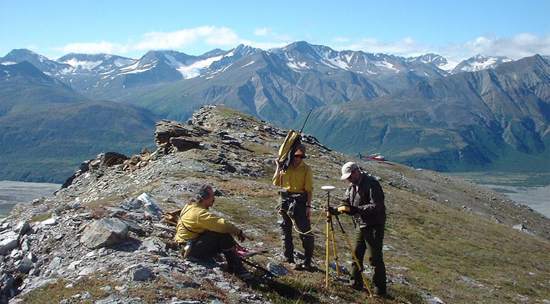
Position determination is a crucial phenomenon and primarily when there are no known points of the object; it is sun, moon and stars which get observed to find out the instrument position. Once the position is determined, the bearing to stars get shifted to the given reference point to the earth. These days after advent of GPS system, it is GPS which gives more accurate position over most of the surfaces on the earth.
6. Reference Network:
In surveys, most of the survey points get measured with relation to the previous measured point where these relative measuring forms a kind of reference or a network which get used by the surveyor to find out their own positions while starting any other land surveys.
7. Accuracy and Errors:
As there is no meant which is perfect when it comes to measurement in surveying, there are always possibilities of getting small amount of measurement errors. These errors are termed as gross error, systematic error and random error.
While there are varieties of surveys available as per regulatory bodies however; specific survey based on the actually need is always suggestible.